Estimated Reading Time: 6 minutes
Key Takeaways
- The New Mexico flooding highlights the interconnectedness of climate events and technology.
- Advanced AI played a crucial role in tracking and responding to the flood but had limitations.
- Community resilience and technological preparedness are pivotal for facing future disasters.
Table of Contents
- Déjà Vu: A Town Torched and Drowned
- Why Was the Flood So Catastrophic? The Science of Burn Scars
- Humans, Algorithms, and Flash Floods: How AI Tracked the Disaster
- The Human Toll: Stories from Ruidoso
- Climate Change, Compound Disasters, and the New West
- Can Technology Save Us? What Worked, What Didn’t
- The Way Forward: Smarter AI, Stronger Communities
- Join the Conversation
Déjà Vu: A Town Torched and Drowned
Imagine rebuilding your life—house by house, memory by memory—after the most devastating wildfire in your town’s history. That’s where Ruidoso, New Mexico, stood in mid-2024, scorched by last year’s South Fork and Salt fires [NBC News].
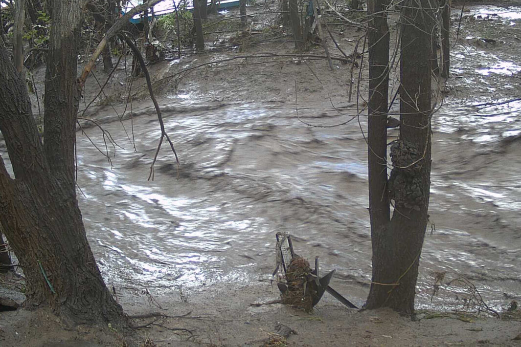
Then, nature doubled down. On July 8th, as monsoon rains slammed the mountains, a wall of water gushed through the burn scars. With sickening speed, the Rio Ruidoso surged from under 2 feet to above flood stage, submerging roads and homes [CNN].
This wasn’t just another “weather event.” At least three people died—among them, a man and two children—while others clung to survival as first responders launched dozens of rescues [AP News]; [CBS News]. Homes were swept away, entire streets were erased, and officials declared a state of emergency across swaths of the region [Newsweek].
Put simply: one of America’s sunniest states was blindsided by *the* deadliest flood in its recent memory.
Why Was the Flood So Catastrophic? The Science of Burn Scars
There’s a brutal irony here: Water is both the solution to wildfire devastation, and the trigger for flash-flood hell.
How Wildfires Set the Stage
When wildfires like the South Fork and Salt fires rage, they don’t just destroy trees—they “bake” the soil. Natural vegetation that once slowed rainfall and drank in water is combusted. The result? Burn scars: vast patches of land so hydrophobic, rain simply *runs off*—as if poured onto concrete [Ruidoso-NM.gov].
– **Post-wildfire terrain** absorbs 60–80% less water than healthy forest, according to the US Forest Service.
– Rainfall rates as low as 0.3 inches per hour can trigger dangerous run-off in burn-scarred zones.
This hydrology twist transformed Ruidoso’s July monsoon from inconvenience into catastrophe. As rain lashed the hills, the ground rejected it wholesale, amplifying every drop into a raging torrent [AP News].
From Map to Mayhem
Satellite and drone imagery—processed by AI flood-mapping tools—showed what local residents already knew: the water’s path was preordained by last year’s fire [CNN]; [NextModLabs].
Humans, Algorithms, and Flash Floods: How AI Tracked the Disaster
When disaster strikes in 2025, “how did this happen?” is almost immediately followed by “where is it happening now?” Here’s where artificial intelligence takes center stage.
AI Flood Trackers: From Theory to Real-Time Rescue
– **Predictive Models**: Machine learning algorithms, trained on satellite soil moisture, rainfall data, and historical fire maps, now issue real-time flash flood warnings for burn-scar regions. Google’s Flood Hub, for example, has expanded its predictive coverage to include the American Southwest.
– **Live Flood Maps**: During last week’s crisis, emergency apps and weather trackers pushed live alerts, visualizing at-risk zones and evacuation routes overlaid on high-resolution terrain data [Newsweek]; [NextModLabs].

